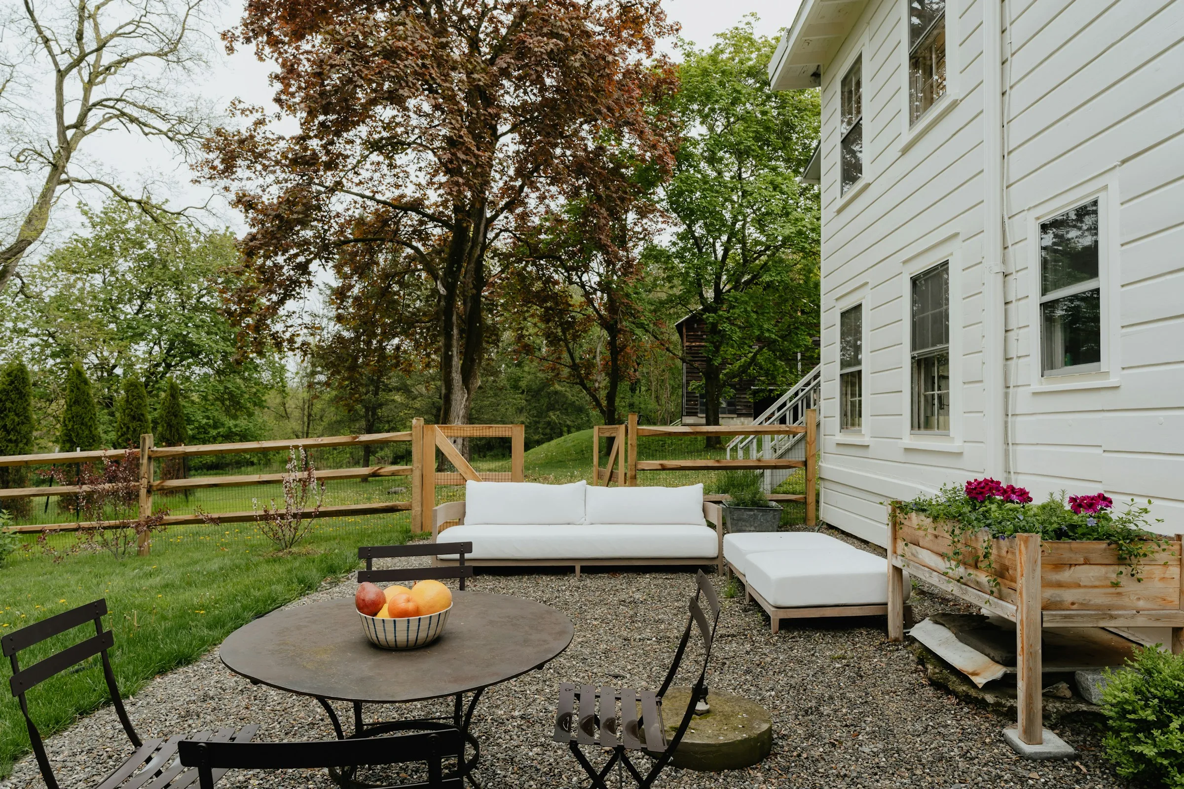
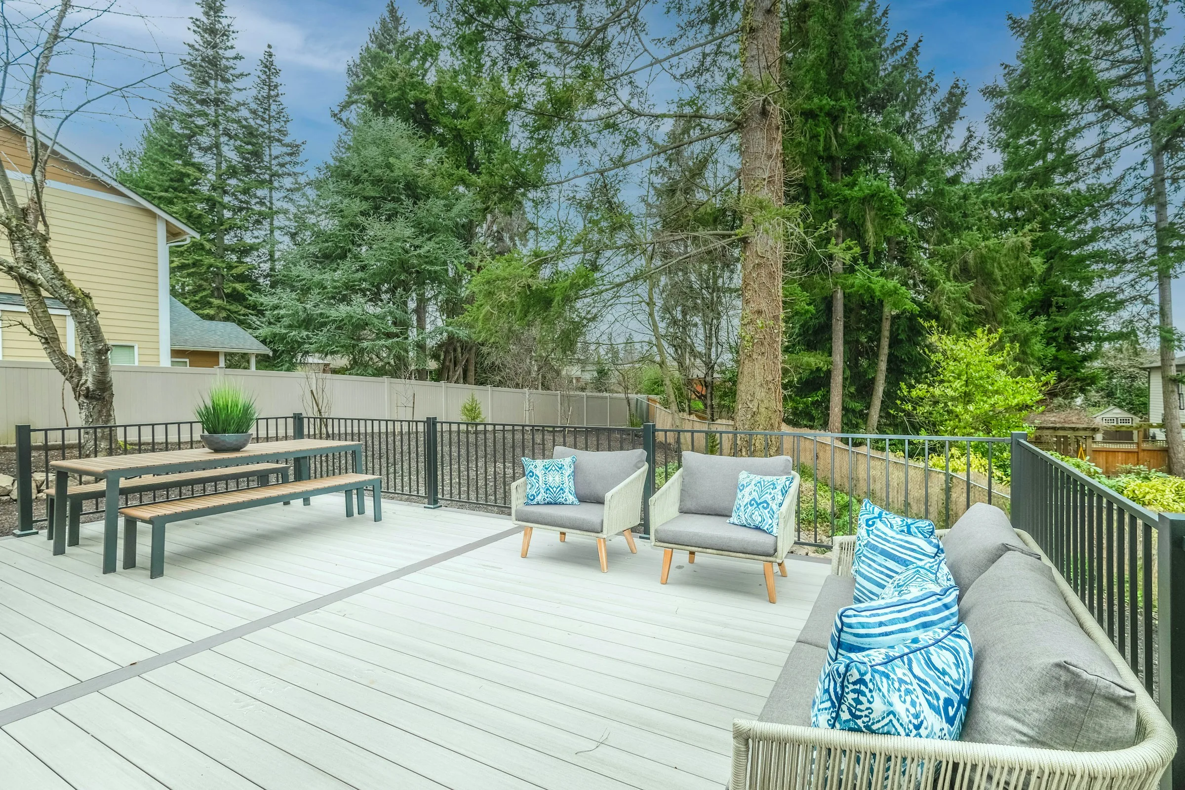
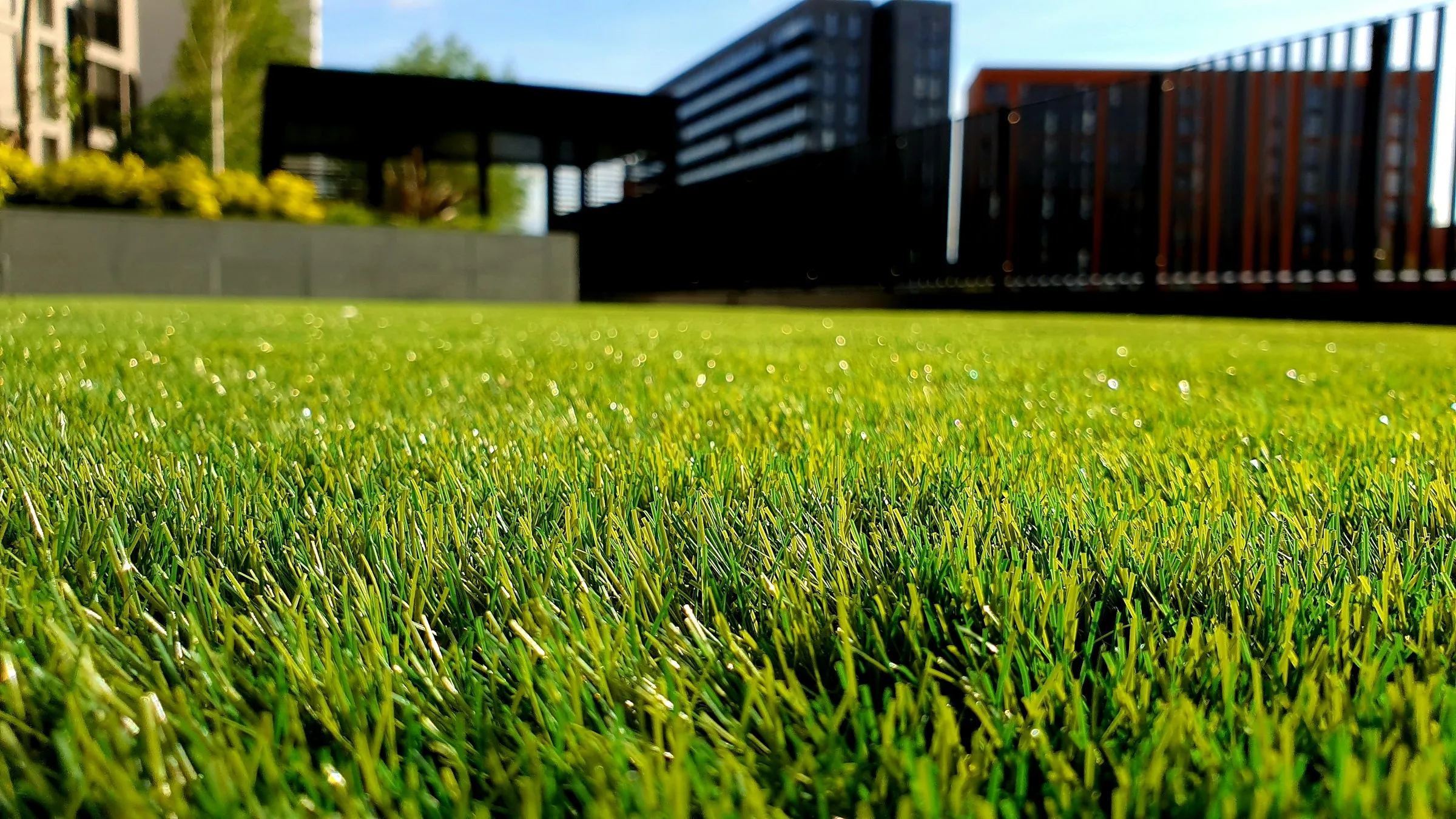
Plan a Turner patio, path, lawn, irrigation, or fence around the site’s relationship to Mill Creek low ground, east-side slopes, and everyday access.
Outdoor opportunities / Turner
Plan the outdoor core around Turner’s low ground and slopes
For a home near Mill Creek or the channel south of it, the first patio decision is not the paver color—it is the existing water route, finished elevation, and whether the address falls within the City’s Flood Hazard Overlay. On Turner’s east and northeast side, a path, retaining edge, or irrigated lawn may need to work across a more noticeable grade. Those conditions determine where a dependable outdoor core belongs and how it should connect to parking, a gate, garden, or outbuilding.
01
Set a back-door surface above the water problem
Near low ground, record ponding, downspout discharge, and the route runoff takes before setting a patio or walkway elevation. If the address is in a mapped flood area, confirm the City review before finalizing the scope.
02
Cross an east-side grade deliberately
On rising ground toward east and northeast Turner, compare a direct stepped route with a longer sloped walk. The safer, easier connection may set the patio, gate, and retaining-edge layout.
03
Keep garden and outbuilding access practical
Size a gate and durable route for the mower, trailer, or materials that actually use it, while keeping that path from becoming an unintended channel for runoff.
Turner property zones
Match the service to Mill Creek low ground or east-side grade.
Near low ground, start with observed ponding, runoff, and the property’s mapped flood context before adding hardscape or changing grade. On rising east- or northeast-side land, use slope and the route between the house, parking, gates, and outbuildings to set the project sequence.